

File:FR Avalae Map 2020-06-24.png
From Ryzom Commons
Revision as of 15:49, 24 June 2020 by Craftjenn (talk | contribs) (FR carte de la ville d'Avalae Category:Town maps Category:Verdant Heights)
No higher resolution available.
FR_Avalae_Map_2020-06-24.png (313 × 311 pixels, file size: 209 KB, MIME type: image/png)
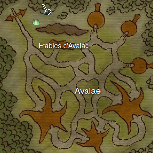
FR carte de la ville d'Avalae
File history
Click on a date/time to view the file as it appeared at that time.
| Date/Time | Thumbnail | Dimensions | User | Comment | |
|---|---|---|---|---|---|
| current | 15:49, 24 June 2020 | | 313 × 311 (209 KB) | Craftjenn (talk | contribs) | FR carte de la ville d'Avalae Category:Town maps Category:Verdant Heights |
- You cannot overwrite this file.
File usage
The following page links to this file:

