(Milam uploaded a new version of File:FR lacs Ile carte generale.jpg) |
|||
| Line 1: | Line 1: | ||
| − | [[Category:FR Map images]][[Category:Aeden Aqueous]] | + | [[Category:FR Map images]][[Category:Region_maps]][[Category:Aeden Aqueous]] |
| + | [[:fr:Île Enchantée]] | ||
Revision as of 09:53, 8 July 2020
File history
Click on a date/time to view the file as it appeared at that time.
| Date/Time | Thumbnail | Dimensions | User | Comment | |
|---|---|---|---|---|---|
| current | 10:04, 27 July 2020 |  | 697 × 733 (431 KB) | Milam (talk | contribs) | |
| 09:52, 8 July 2020 | 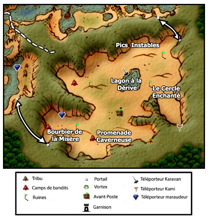 | 697 × 733 (429 KB) | Milam (talk | contribs) | ||
| 14:08, 14 June 2020 | 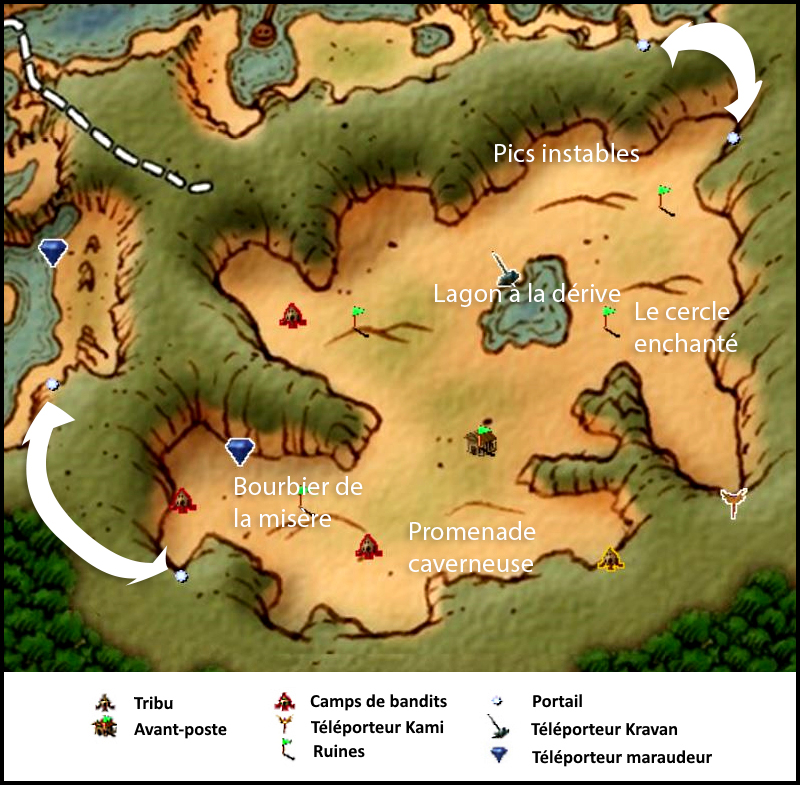 | 800 × 785 (503 KB) | Milam (talk | contribs) |
- You cannot overwrite this file.
File usage
There are no pages that link to this file.