No higher resolution available.
Dunes_of_Aelius_sat.png (560 × 321 pixels, file size: 271 KB, MIME type: image/png)
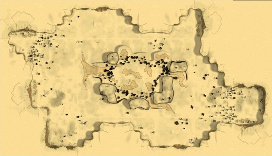
| Description |
Satellite Map of Aelius Dunes |
|---|---|
| Date |
2021-04-29 |
| Source | |
| Author | |
| Permission |
CC-by-SA |
File history
Click on a date/time to view the file as it appeared at that time.
| Date/Time | Thumbnail | Dimensions | User | Comment | |
|---|---|---|---|---|---|
| current | 15:07, 26 April 2021 | | 560 × 321 (271 KB) | Dorothée (talk | contribs) | {{Information |description=Satellite Map of Aelius Dunes |source=https://maps.bmsite.net/sample/builder.html |date=2021-04-29 |author= |permission= CC-by-SA }} Category:Map images Category:Region maps |
- You cannot overwrite this file.
File usage
There are no pages that link to this file.